SURVEYING

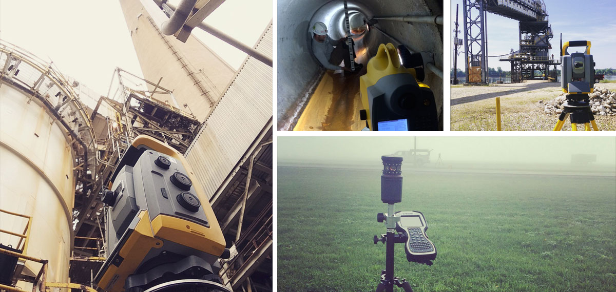
When it comes to surveying your land, precision is imperative. Our survey team uses their extensive experience along with today’s most advanced techniques and technologies to provide you with precise measurements and remove any potential obstacles to help you achieve your objectives. We use state of the art Trimble Robotic and Trimble GPS equipment that will efficiently and cost effectively complete your survey project. We will make sure you are not encroaching on your neighbors and will help you properly identify your boundaries, locations of infrastructure, easements and any other possible impediments. When precision counts, you can count on our team of survey professionals.

* At this time, Three i Design does not offer services that require a licensed land surveyor in Illinois.

Surveys

ALTA/NSPS Surveys | Retracement Surveys | Record Document Surveys | Surveyor Location Reports (Mortgage Surveys) | Topographic Surveys | Route Surveys | Volumetric Surveys | Photogrammetric Control Surveys | Utility Surveys | Bolt Verification Surveys | Digital and Conventional Differential Leveling


Staking & Layout

General Utility Right-Of-Way Staking | Construction Staking | Easement Staking | Section Corner Perpetuation | Highway Construction Layout | Building and Column Layout


Design

Major/Minor Subdivision Development | Development of Utility Easements | GPS Surface Development for Automated Machine Control | Certified Site Plans


Documentation

Pipe line tracking and GPS documentation | Soil Boring and Well Documentation | Land Records Research | Land Partitions | FEMA Elevation Certificates | Landfill Liner and Closure Verifications | Landfill Liner and Closure Verifications | ACAD Civil 3D Mapping